

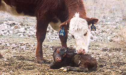
 Calving season has begun, in a winter season that has had some extreme temperature swings. January 2018 had air temperatures as low as -30° F and as high as +50° F. In February and March, drastic temperature changes can continue to be a concern when caring for newborn livestock.
Useful Tools
The Cold Advisory for Newborn Livestock (CANL) forecast at the Aberdeen National Weather Service website can be a useful tool when preparing for new newborn calves, in particular in the first 24 hours. It was created with input from Northern U.S. ranchers, experts in animal science, and those who study biological responses to extreme weather conditions. The CANL forecast takes into account five factors: wind chill; rain or wet snow; high humidity; combinations of wind chill and precipitation; and sunshine vs. cloudy days. As a result, it is a science-based method to combine several weather factors together to determine the hazardous weather risk to your newborn calves.
Risk Scale
A six-category scale (Figure 1) was developed to identify the risk of hazardous conditions for newborn livestock, ranging from None (green color) to Extreme (red color). The categories are described as:
- NONE: Wind chill above 41° F
- SLIGHT: Wind chill less than 41° F for 2 or more hours
- MILD: Wind chill less than 32° F for 2 or more hours
- MODERATE: Wind chill less than 0° F for 2 or more hours or Wind Chill less than 32 ° F and .02″ precipitation
- SEVERE: Wind Chill of -9° F or colder for two or more hours, or wind chill of less than 32° F and .05″ of precipitation
- EXTREME: Wind chill of -18° F or colder for two or more hours, or wind chill less than 32° F and .1″ of precipitation

Figure 1. Six-category scale to identify the risk of hazardous conditions for newborn livestock.
Forecast Map
These risk categories are displayed on a map of Northeastern South Dakota, and they are updated at least once-per-day. An example of the CANL forecast map looks like the map below (Figure 2). This map for February 13, 2018, shows Mild risk in green, Moderate in yellow over most of the Region, and an area of Severe risk in orange in the North Central counties. A visit to the CANL website will also display the 30-hour forecasts for wind chill, total precipitation and sky cover (cloudy vs. clear). The CANL and related maps are only available for Regions in Montana, North Dakota and Northeastern South Dakota.

Figure 2. Example of the CANL forecast map hazard areas in SD.
Source: SDSU iGrow News Release
Leave A Comment